Description
NEW for R13!
Key features include:
Data Input Options
|


$750.00 – $8,995.00
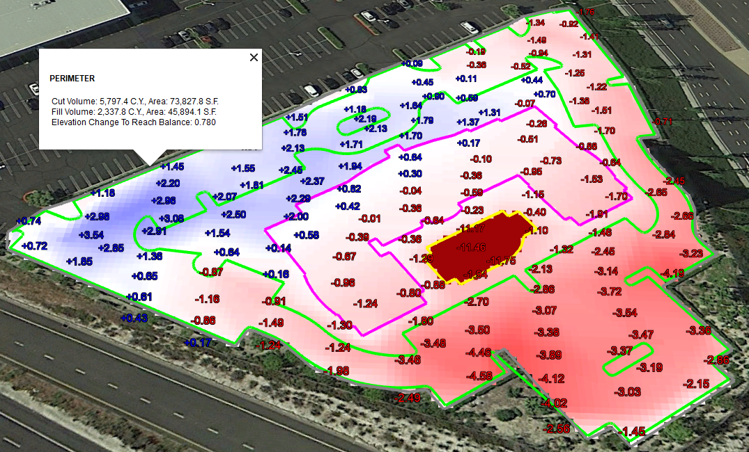
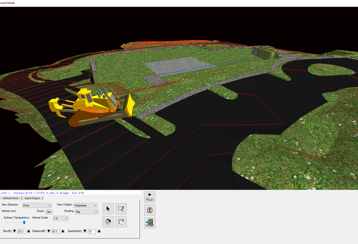
Carlson Takeoff is a CAD based Earthwork volumes (cuts/fills) and 3D Modeling program that can estimate jobs using paper plan digitizing, PDFs import, or electronic CAD files. Get the Job with Take-Off and use that same data for your construction layout or machine control. New PDF importing tools help you get it done faster by converting to CAD and starting the sorting process for you. New 3D Viewer helps you build your 3D Model more accurately and spot errors before you stake them.
Estimating and 3D Modeling, Carlson Takeoff does it all!
A perfect companion for your Carlson Robot or BRx7 GNSS site staking equipment!
Unlike some Software companies Carlson Software works across multiple brands. Take-Off is compatible with most brands of GPS, Total Stations and Machine Control!
Carlson Takeoff Suite works on AutoCAD® (sold separately), or with IntelliCAD® (provided). The Takeoff Suite is comprised of the modules Carlson CADnet, Carlson Trench, and Carlson GeoTech combined with Carlson Construction. All are fully integrated with Carlson Civil and Hydrology to meet a variety of customers’ needs.
Keep up with changes and improvements by purchasing a 1-Year Maintenance plan for the Takeoff Suite, or by purchasing the annual Upgrade for the Takeoff R13 OEM. Select these from the drop down list.
Carlson Takeoff R13 OEM includes the AutoCAD engine and all of the features included in the Suite above PLUS the Point Cloud module!
Click here to upgrade previous version to R13
When you purchase this product you will receive a Licensed Serial Number to register the software. Serial Number and instructions to download will be Emailed to the contact address you provide in our shopping cart. Please allow 1-2 business days for processing.
Worried about learning how to use Take-Off? CSS can help.
We offer One-on-One on line training which is designed to get you up and running quickly.
Click here for information on our training.
NEW for R13!
Key features include:
Data Input Options
|


| Take-Off Estimating Software | Take-Off Suite, 1-Year Maintenance for Suite, Take-off ACAD R12 |
|---|